Clarksburg · South Georgian Bay, Ontario
Aerial photography and commissions in Clarksburg
The river bends and narrow valley make this a different aerial subject from the open harbour downstream.
Looking along the Beaver River can hold the village and the valley together. Looking across it can draw attention to one building or the trees at the water’s edge.
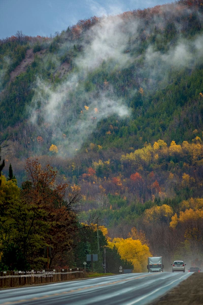
The escarpment rises on both sides of the broader valley. In autumn, colour separates the wooded slopes from the fields; in winter, branches and snow reveal a simpler pattern.
For a riverside commission, start with the subject and the available access. Trees, neighbouring buildings and flight conditions all affect which aerial viewpoints can be considered. The aerial commissions page covers the wider offer.
For artwork intended for a business interior or publication, see commercial artwork in Clarksburg. Photographic prints and licensing for an arts village, its studios and local businesses.
The drone and aerial photography page covers the same work across the whole of South Georgian Bay, Ontario, without the Clarksburg specifics above. Everything Pete shoots in Clarksburg lists the other one, along with his accreditations and the certificate he flies on.
Questions
Asked about this work in Clarksburg.
- What shapes an aerial commission in Clarksburg?
- The escarpment rises on both sides of the broader valley. In autumn, colour separates the wooded slopes from the fields; in winter, branches and snow reveal a simpler pattern.
- What should I send before planning a flight in Clarksburg?
- For a riverside commission, start with the subject and the available access. Trees, neighbouring buildings and flight conditions all affect which aerial viewpoints can be considered.
Clarksburg
The other work in this town.
Explore another way to use photographic artwork in Clarksburg.
Aerial photography and commissions in Clarksburg?
Share the place, the subject and your ideas for the finished photograph. Pete will assess the scope and possible viewpoints.