Prints and selected commissions
Artistic aerial photography of South Georgian Bay
The curve of a shoreline, a farm in its surrounding fields, a harbour at dusk. Aerial photographs show the relationships between places that are difficult to see from the ground.
Shoreline and harbours
Water, docks and the shape of the shore can form the subject of an aerial print. Explore existing photographs of the region before deciding whether you need a new commission.
Farms and country places
Fields, woodlots and buildings create patterns that change with the light and season. A selected commission can explore how a farm or estate sits within that setting.
Cottages, chalets and commercial places
An aerial viewpoint may suit a place with personal or regional significance. Share the location and what draws you to it; the subject and safe flight options guide the discussion.
The work
Photographs from around the bay.
Explore the light, subjects and viewpoints in Pete's portfolio.
Thornbury — Harbour town at dusk, shoreline curving toward the escarpment
Aerial
Thornbury — Main street and waterfront at dusk with the ski hills behind
Aerial
Georgian Bay — A dinghy fleet racing on open water
Aerial
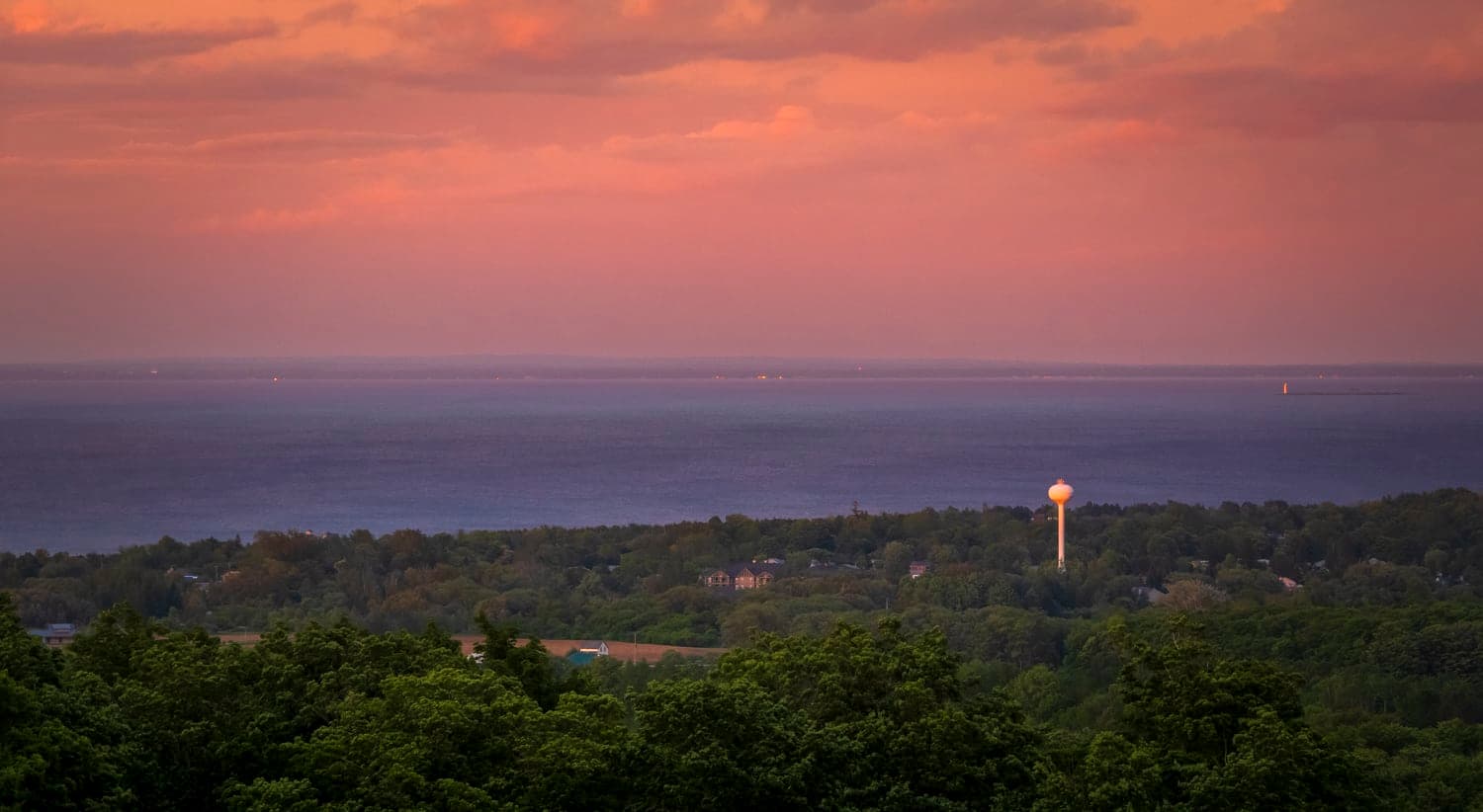
Town and water tower lit at dusk above the shoreline
Aerial
The Blue Mountains — Winter shoreline with ice along the beach and homes above the bluff
Aerial
Thornbury — Sailboats racing at the Thornbury Laser Worlds regatta
Aerial
Northern Bruce Peninsula — A wrecked ship's frame resting in clear shallow water
Aerial
Thornbury — Marina full of docked sailboats along a stone breakwater
Aerial
Thornbury — Town hall lit at dusk with the escarpment and shoreline beyond
Aerial
Regional work
Based in Thornbury, across South Georgian Bay.
Explore photography around Collingwood, The Blue Mountains, Meaford and the surrounding towns and countryside.
Questions
Planning your artwork or commission.
- Can I buy an existing aerial photograph?
- Yes. Browse the print shop for available aerial artwork. If a photograph in the portfolio interests you, contact Pete with its title or a link.
- Can an aerial commission include ground photographs?
- Discuss both viewpoints with Pete when describing the project. The agreed scope depends on the subject and the finished work you want.
- What affects the timing of an aerial commission?
- Light, weather, access and the conditions for a safe, permitted flight all matter. A commission may need more than one visit; timing is discussed for the particular project.
- Is Pete a certified drone pilot?
- Pete holds a Transport Canada Basic Operations pilot certificate. The location and proposed flight must be assessed before aerial work can be confirmed.
Read about print prices and commission inquiries or explore the drone flight rules guide.
Have a place in mind?
Send the location or image reference, what interests you about it and how you would like to use or display the photograph.