Service area · South Georgian Bay, Ontario
Photographic artwork and commissions in Wasaga Beach
The longest freshwater beach in the world. Photographic artwork and selective commissions by Pete Mather.
Wasaga Beach
The place behind the photograph.
Wasaga Beach follows fourteen kilometres of Nottawasaga Bay, with the Nottawasaga River behind the beachfront and provincial parkland along much of the shore.
The open horizon, changing water and cottage memories make the shoreline a subject for photographic artwork. A commission can focus on a family place or the stretch of beach associated with it.
Pete is accredited member, professional photographers of canada (ppoc), holds the Master of Photographic Arts (MPA) designation, flies on a Transport Canada Basic Operations Pilot Certificate (RPAS), and carries $1,000,000 in liability insurance. He works out of Thornbury, with Wasaga Beach within his regional coverage.
Commissions and artwork
Two kinds ways to discuss a project with Pete. Each one has its own page for Wasaga Beach.
Aerial photography and commissions in Wasaga Beach
The beach and the river offer contrasting compositions within a short distance. Aerial photography at Wasaga Beach is planned around the intended subject and the conditions at that location.
Commercial artwork and photography in Wasaga Beach
A shoreline print can hold a cottage memory or set the tone of a guest room. Artwork for Wasaga Beach spaces covers those choices alongside image licensing.
Discuss the subject, intended display and timing with Pete. Commission pricing explains how the scope is agreed.
Questions
Asked about shooting in Wasaga Beach.
- What can a personal commission in Wasaga Beach focus on?
- The open horizon, changing water and cottage memories make the shoreline a subject for photographic artwork. A commission can focus on a family place or the stretch of beach associated with it.
- How do I choose artwork for a space in Wasaga Beach?
- For a cottage, a personal commission may preserve a familiar view or a building shared across generations. For several guest rooms, selecting from existing artwork may offer a more suitable range of subjects.
The work
Shot around the bay.
A sample of Pete's work across the region, shown here as regional artwork rather than photographs of Wasaga Beach.
Georgian Bay — Empty bench above the shoreline boulders as the sun sets behind the escarpment
Landscape
Three Muskoka chairs on a dock above still green water
Landscape
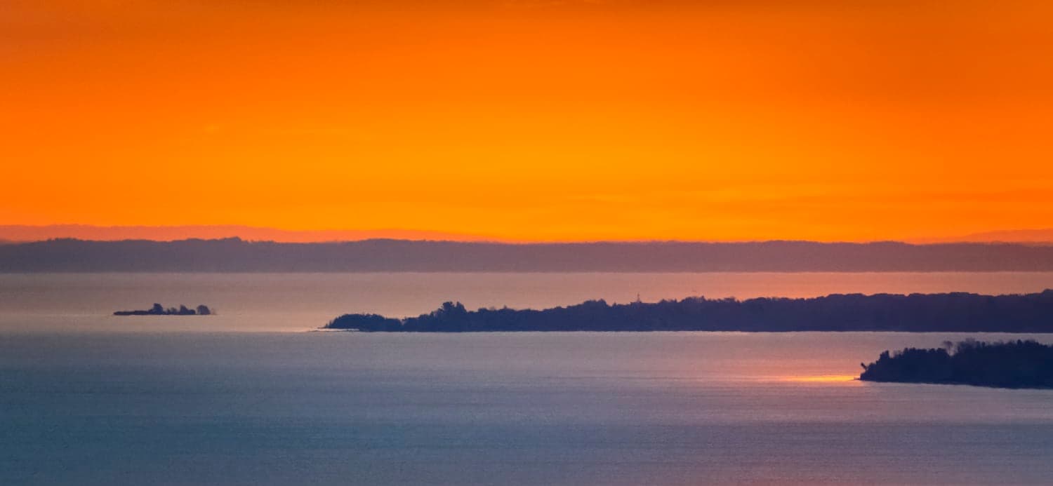
Sun setting at the horizon beside a low island
Fine Art
Cyclists riding down a tree-tunnel road into the valley
Landscape
Nearby
Also covering the towns next door.
The beach ends where Collingwood's harbour and downtown photographic subjects begin, the hills behind it are chalet country in The Blue Mountains, and south through the concessions sits farm and village photography around Creemore. All of that except the hills is the northern edge of Simcoe County, which runs a long way further inland than most people booking a beach shoot realise.
Have a place in Wasaga Beach in mind?
Tell Pete about the subject, why it matters to you and where the finished photograph will be displayed.