Service area · South Georgian Bay, Ontario
Photographic artwork and commissions in Meaford
Working harbour and apple country along the bay. Photographic artwork and selective commissions by Pete Mather.
Meaford
The place behind the photograph.
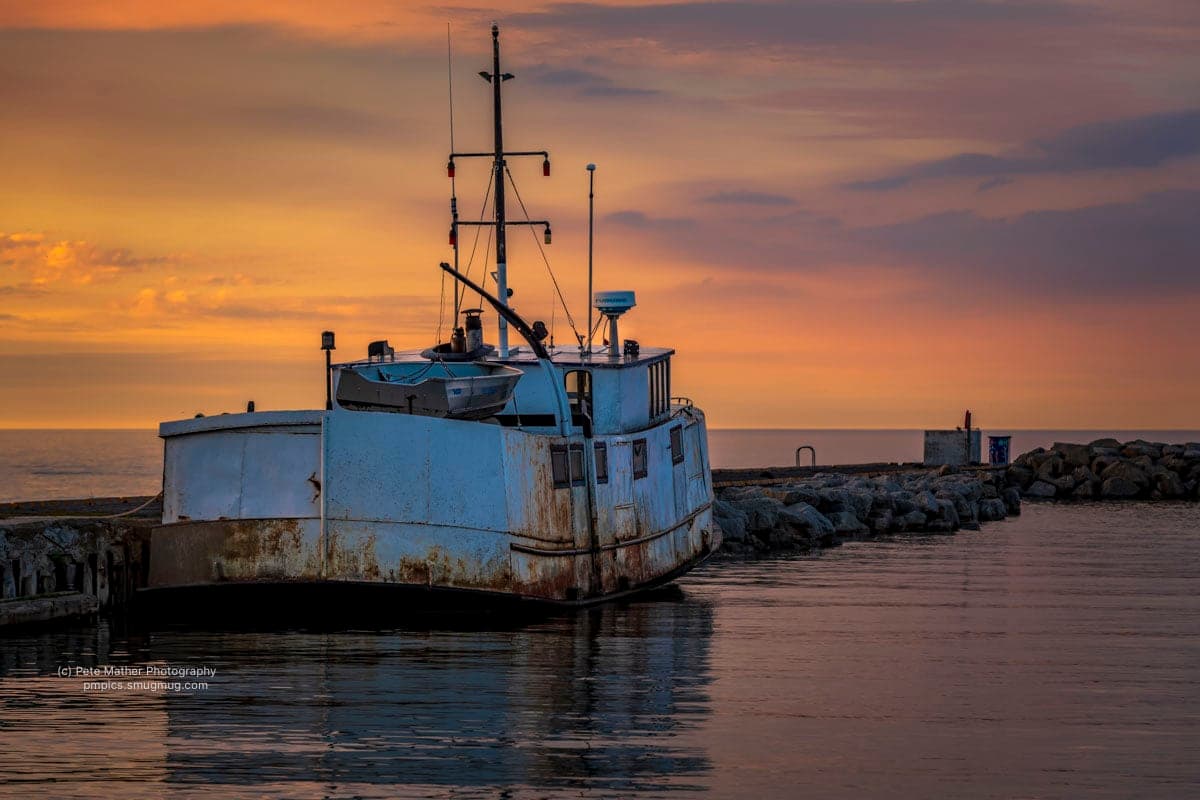
Meaford has a working harbour on Georgian Bay, the Bighead River running through town and apple country spreading inland. Farm buildings and open fields give way to the shoreline.
A weathered barn, a family farm or an orchard in autumn can carry a history that deserves a considered photograph. The subject may be one building, or the way it sits in the surrounding land.
Pete is accredited member, professional photographers of canada (ppoc), holds the Master of Photographic Arts (MPA) designation, flies on a Transport Canada Basic Operations Pilot Certificate (RPAS), and carries $1,000,000 in liability insurance. He works out of Thornbury, with Meaford within his regional coverage.
Commissions and artwork
Two kinds ways to discuss a project with Pete. Each one has its own page for Meaford.
Aerial photography and commissions in Meaford
Farm buildings sit within a larger pattern of fields, orchards and shoreline. Aerial commissions around Meaford look for the viewpoint that expresses the place you want to remember.
Commercial artwork and photography in Meaford
Apple country provides subjects for both existing prints and new commissions. Meaford artwork and image licensing connects those photographs with business interiors and publications.
Questions
Asked about shooting in Meaford.
- What can a personal commission in Meaford focus on?
- A weathered barn, a family farm or an orchard in autumn can carry a history that deserves a considered photograph. The subject may be one building, or the way it sits in the surrounding land.
- How do I choose artwork for a space in Meaford?
- A grower may want a commissioned photograph of a particular farm, while a hospitality space may prefer an existing regional print. Explain the connection the picture should make and where it will hang.
The work
Shot around the bay.
A sample of Pete's work across the region, shown here as regional artwork rather than photographs of Meaford.
Red barn in an orchard below a forested ridge
Landscape
Apple crates stacked outside a storage barn, autumn hillside beyond
Commercial
Fog and morning light over a distant lighthouse point
Fine Art
Sunrise breaking through spruce beside a farm at first light
Landscape
Nearby
Also covering the towns next door.
East along the shore the coverage carries on through Thornbury harbour and orchard photographic subjects and village and valley properties in Clarksburg, then up onto the hill for Blue Mountains chalet photography. West and south of this harbour the same county keeps going, and what a booking across Grey County involves is mostly a question of how far past Owen Sound the address sits.
Have a place in Meaford in mind?
Tell Pete about the subject, why it matters to you and where the finished photograph will be displayed.